Feature · Satellite Overlay
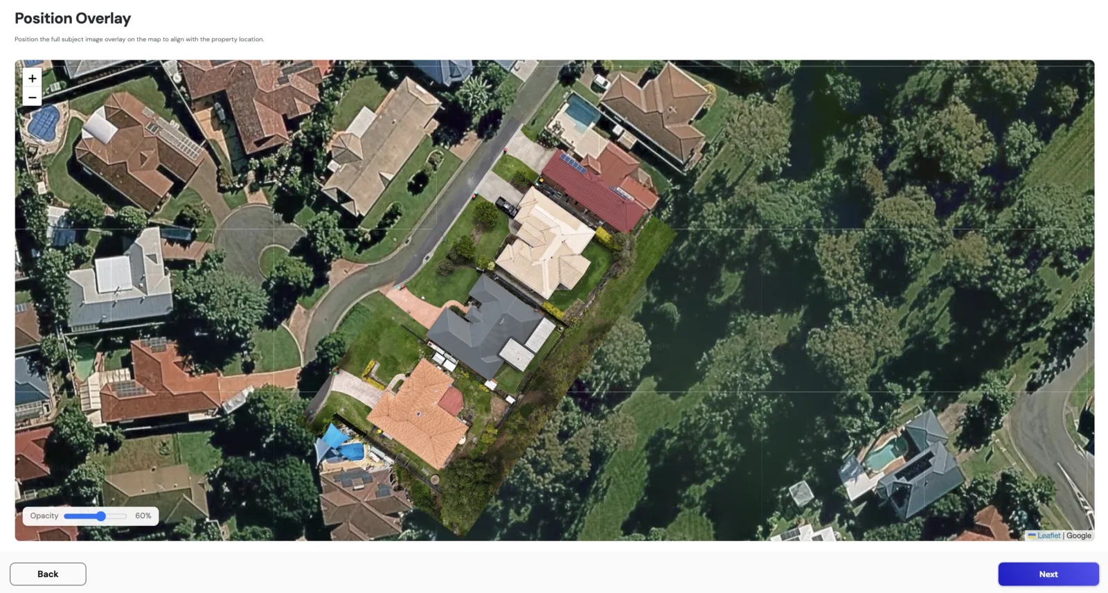
The full subject image,
overlaid on satellite.
Drag-and-position your full subject image directly onto a live satellite view, locked to real-world coordinates. The roof you’ve inspected, perfectly aligned with where it actually sits, making every downstream measurement, pin, and pitch reading defensible.
How it works
- ●Subject image overlaid on live satellite map
- ●Drag-to-position with rotation and scaling
- ●Locked to GPS coordinates once positioned
- ●Toggle satellite/overlay visibility independently
- ●Persists across the rest of the workflow
Outcome
Reports anchored to real-world current geography. Every downstream finding sits on a verified map position.