Feature · GPS image locations
Every finding,
precisely located.
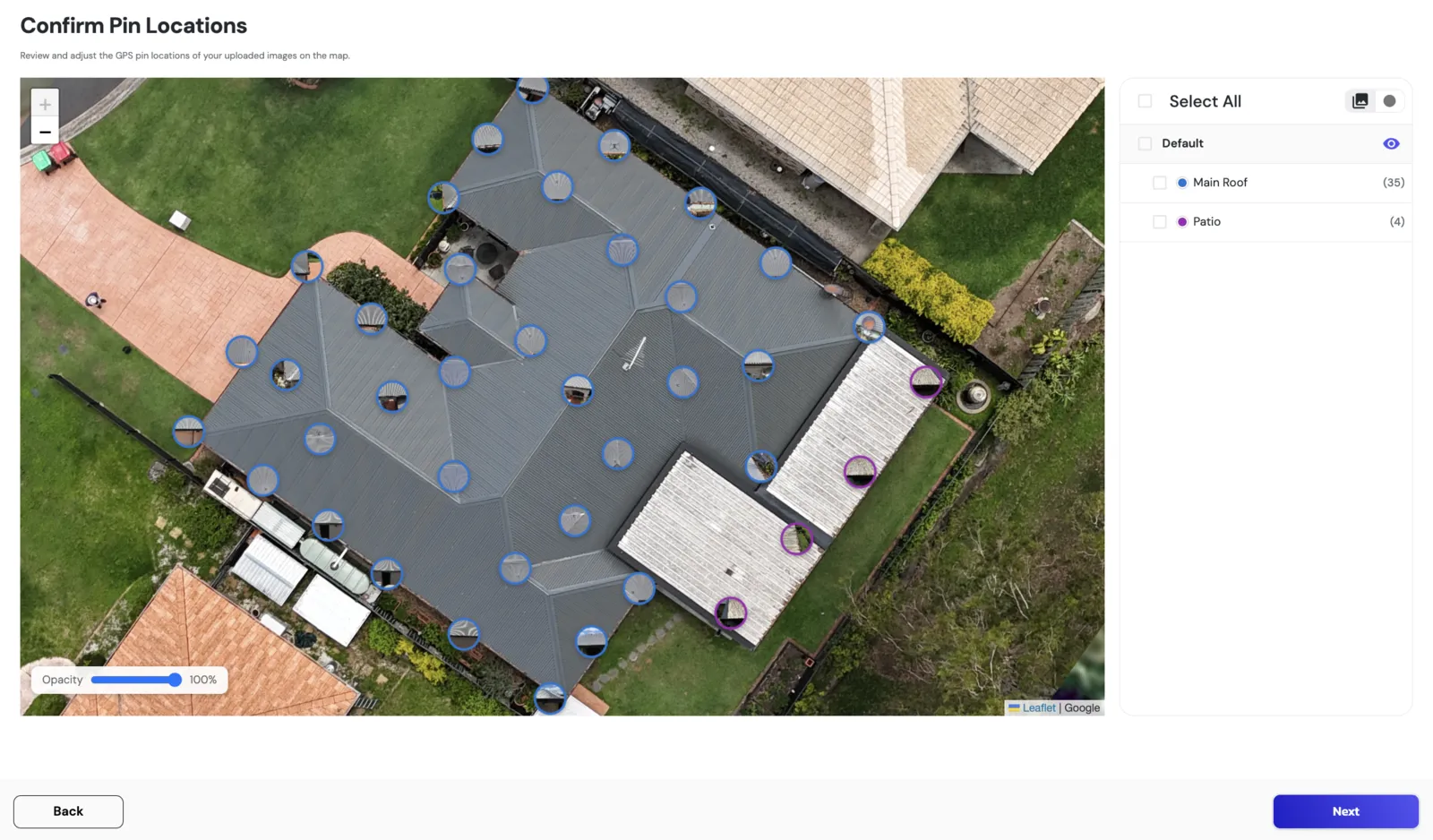
Every uploaded GPS-tagged image becomes a colour-coded pin on the satellite overlay. Different colours indicate different sections & issue types depending on the diagram. Be sure to use the legend associated with the correct diagram. Every finding pinned to real-world coordinates. Click a pin to jump straight to the matching detection.
How it works
- ●GPS metadata read automatically from imagery
- ●Pins colour-coded by section or issue type
- ●Click a pin to jump to its source detection
- ●Adjust misplaced pins with a single drag
- ●Toggle pin visibility per gallery or section
- ●Pins persist into the final PDF report map
Outcome
The insurer sees exactly where every finding is. Auditable, defensible, and impossible to dispute with a “where was this?”